FAQs
How do you survey an orchard?
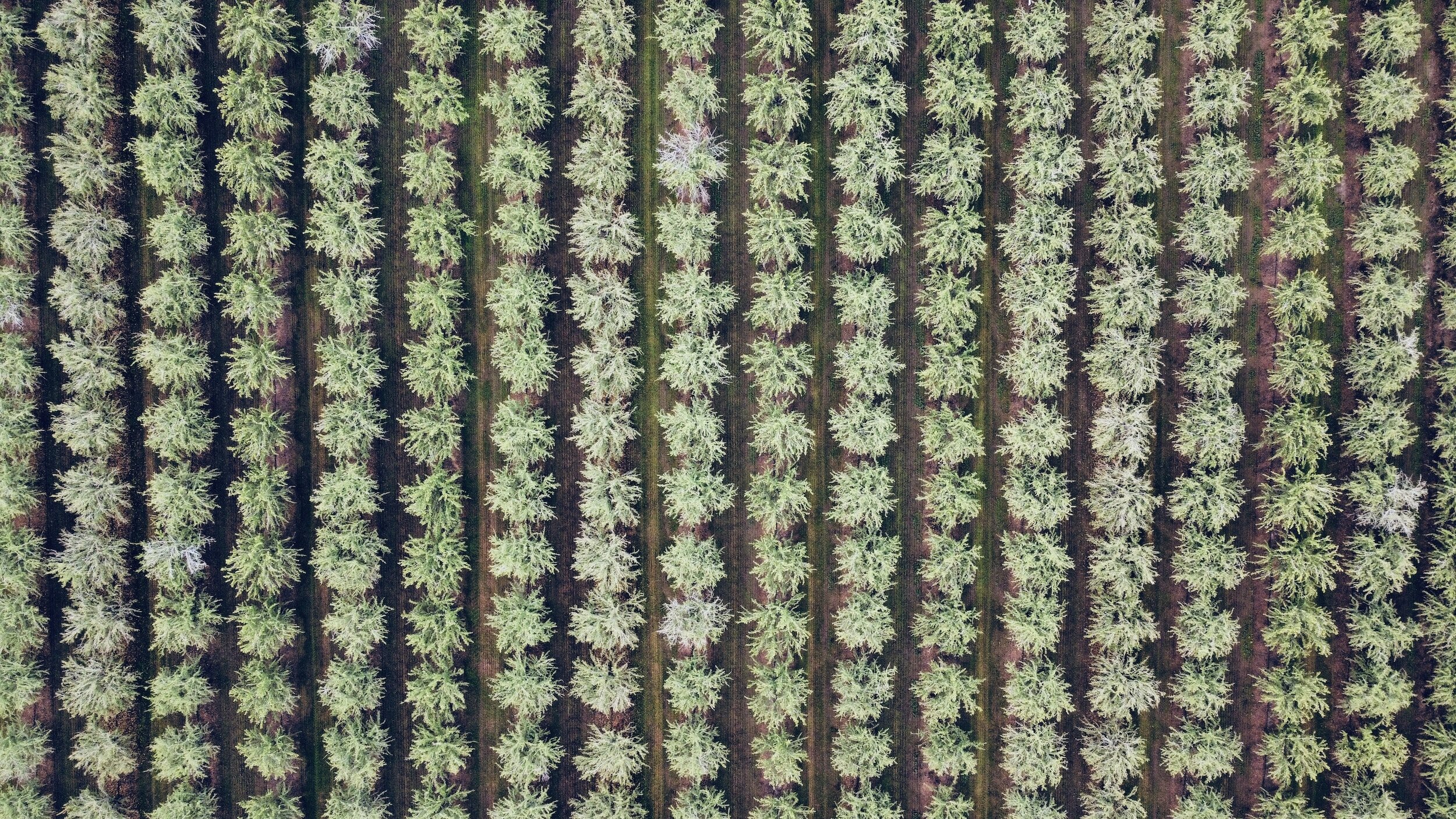
Apple and pear orchards are surveyed by overflying the plot with a small drone and shooting high resolution still images at specific intervals. Depending on whether we are trying to map/model the orchard or looking to count/size fruit we may choose top-down or side-looking shots. Back in the office we use different software and techniques to reassemble the virtual orchard and create maps, charts, fruit density graphics and yield estimations. We do some of the analysis in partnership with Outfield utilize class leading software and techniques. If you want to learn more or see a demo give us a call!
How much do you charge for your services?
Each project is different but here are a few things to consider:
For Outfield services, we charge a flat annual rate based on subscribed acres. There are often introductory specials.
For other aviation, consulting, or analytics services; our fees are very competitive as we do not have the overhead of a large firm.
We want you and your team to succeed, and we want to help you put the best information possible into your business processes. Our goal is to help clients be more efficient and effective—if the service is not likely to pay for itself, we will say so up front!
How long will it take to get started?
We will work with you and your team to get started as fast as possible. We are pretty flexible, and we generally look to have meetings and demos within a week!
Can you teach my staff to fly the drone?
Yes! We are happy to help set you up and let you spread your wings! We can assist teams in creating/training an FAA licensed Part 107 pilot and help design flight plans that are reliable, so you don’t bend any equipment!
Can you help my staff do the analytics?
Yes! We are happy to help assess, plan, and begin executing your analytics goals. From planning to fully built we’ve got your back!